Mapping Microclimates Across Hawaiian Neighborhoods
A planting calendar can look precise and still fail a few steps from your back door. In Hawaiʻi, nearby yards may differ in sun, wind, rain, slope, and shelter, so one neighborhood can hold several useful growing conditions. Mapping those differences helps you choose where to sow, where to transplant, and when to adjust a calendar to fit your own garden.
Why a neighborhood planting calendar needs a yard-level map
A planting calendar is a starting point, not a promise that every bed in a neighborhood will behave alike. A calendar groups conditions into broad windows. Your yard may have a sunny, exposed bed, a shaded corner, and a sheltered strip beside a building, each with different growing conditions.
According to the USDA Agricultural Research Service, small-scale microclimates can make parts of a garden warmer or cooler than the mapped area. That difference matters because plants respond to what they experience at the bed, not just what a regional map suggests.
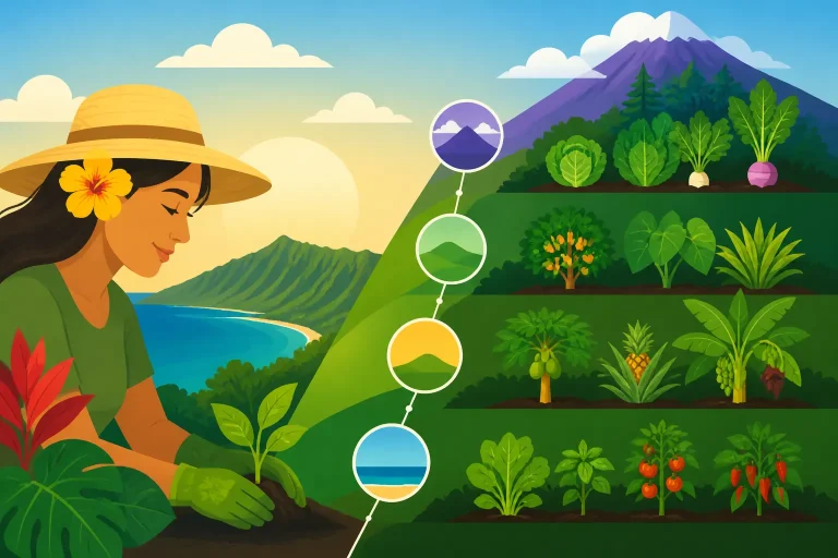
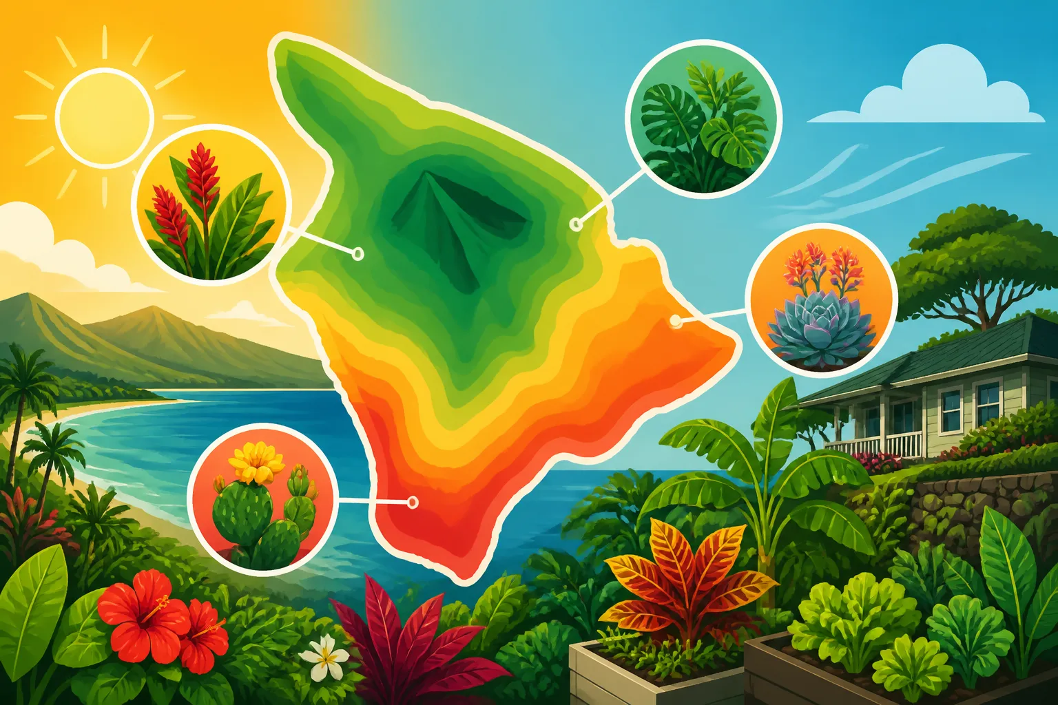
In Hawaiʻi, a useful gardening map therefore works at more than one scale. Island-wide climate and local elevation provide context, while exposure, shelter, drainage, and nearby structures help explain what happens within a property. A calendar that accounts for these layers is more useful than one that treats an entire town or neighborhood as a single growing space.
This is why a planting window that works well for one household may not suit a neighbor’s garden. A bed that gets strong afternoon sun may dry faster than a shaded bed nearby. A sheltered spot can escape some wind, while an exposed slope may feel harsher to tender seedlings. Rain may reach one part of a property more consistently than another, especially where roofs, walls, and vegetation redirect it.
Instead of asking only, “What month is right for this crop?” ask a second question: “Which part of my yard is most likely to give it the conditions it needs?” That shift helps you use planting calendars thoughtfully rather than treating them as rigid schedules. For broader context, compare your observations with Hawaiʻi Home Garden Calendar: Sowing, Sun, and Seasonal Rains and Managing Wind, Sun, and Rain Across Island Microclimates.
Build a practical map of your yard
A useful microclimate map does not need to be elaborate. Its purpose is to record differences that affect planting decisions. A rough sketch of the home, garden beds, paths, walls, trees, slope, and water sources is enough to begin. Add notes as you observe the site.
Mark the conditions that can change from spot to spot
Start with the features most likely to influence plant growth:
- Sun and shade: Note which areas receive direct sun, when shade arrives, and whether shade changes as the sun moves or nearby plants grow. A spot that looks bright at one moment may spend much of the day shaded.
- Wind exposure: Identify places where wind reaches plants directly and places that are sheltered by a wall, hedge, fence, or building. A windbreak can protect plants, but dense shelter may also reduce airflow.
- Rain and runoff: Observe where rain falls freely, where roofs or overhangs block it, and where runoff collects. A bed that looks wet after rain may drain differently from a neighboring bed.
- Slope and drainage: Mark low areas where water tends to gather and elevated areas where it runs away quickly. The surface shape of a bed can be as important as the broader landscape.
- Nearby surfaces: Record walls, pavement, rock, and other surfaces that may affect warmth, shade, or water movement. Treat these as clues to investigate, not proof that a spot is always warmer or drier.
- Existing vegetation: Note trees and shrubs that cast shade, intercept rain, or compete for space. Their influence may change as their canopy grows.
A simple sketch can use words instead of symbols: “bright in the morning,” “windy,” “drains quickly,” or “roof blocks rain.” Keep descriptions specific enough that you can compare one bed with another later.
Observe at different times and in different conditions
A single visit gives only a snapshot. Check the yard at different times of day and during both dry and wet conditions. Watch where direct sun reaches, when shadows move, and whether breezes feel stronger in particular passages or open areas. After rain, look for standing water, runoff paths, and soil that stays damp.
You do not need to measure every variable to make useful decisions. Repeated observations can show patterns that are practical for gardening: one bed tends to dry sooner, another stays shaded, or a corner receives less rain under an overhang. Record what you see without assuming the pattern will hold everywhere on the property.
If conditions seem inconsistent, note what was happening at the time. A temporary cloud, an unusually strong breeze, or recent watering can distort a quick impression. The goal is to build a picture from several observations, not to label a spot based on a single day.
Keep the map easy to update
Treat the map as a working record. A new hedge may change wind exposure; a tree may shade a bed more as it grows; a moved container may reveal a better planting location. Add notes when you make changes or notice a recurring pattern.
The map can also help you avoid a common mistake: assuming that a bed has failed because a crop is unsuitable everywhere in the yard. The issue may be the location. If seedlings struggle in one exposed spot, try a more sheltered area before ruling out the crop or abandoning the planting window.
For additional context on how elevation affects planting decisions, see How Elevation Shapes Planting Calendars in Hawaiʻi and Upland and Lowland Planting Windows Across the Islands. Those broader comparisons can help frame your observations, but your own yard still deserves a closer look.
Read your yard’s microclimates before choosing a bed
Once you have a basic map, compare its zones by the conditions plants will encounter. Avoid labeling one place simply “good” and another “bad.” A site can suit one crop or stage of growth and be difficult for another. A bright, exposed bed may be useful for a crop that needs strong light, while a shadier spot may help protect leaves that show stress in intense sun.
| Yard feature | What to observe | How it may affect planting choices |
|---|---|---|
| Open exposure | Direct sun, wind, and how quickly the surface dries | May suit plants that tolerate exposure; tender seedlings may need a more protected start |
| Partial shade | When shade arrives and how much of the bed it covers | Can be useful for crops that struggle in a very bright, hot location |
| Wall or fence | Shade, reflected warmth, and wind shelter | May create a distinct planting pocket; check how conditions change through the day |
| Low or flat area | Whether water collects or soil stays damp after rain | May call for a crop location with better drainage or a bed raised above the surrounding ground |
| Sloped area | Where water runs and where soil dries first | Can produce uneven moisture across a single bed |
| Roof edge or overhang | Whether rain reaches the soil directly | May require a different watering approach from an uncovered bed |
| Tree canopy | Shade, intercepted rain, and changes as foliage grows | Can make conditions variable and may affect what can grow underneath |
These are prompts for observation, not universal outcomes. A wall can shelter one bed from wind but leave another exposed to wind channeling around a corner. A shady spot can be cooler but may also receive less light than a particular crop needs. A slope can shed water well in one place and leave a dry pocket elsewhere.
When a bed is difficult to assess, compare it with a nearby spot rather than relying on memory. Check whether its soil surface dries at a different pace, whether seedlings lean or show stress, and whether rain reaches it directly. If you water or change the shade, record that too. A small change in exposure can make a larger difference than changing the calendar date.
Microclimate mapping also helps you use containers strategically. A pot can be moved from an exposed patio to a protected area as conditions change, while an in-ground bed is harder to relocate. If you garden in a small space, Trellised and Container Crops for Small Island Spaces and Growing Edible Crops and Greens in Lānai Containers offer related ideas for using available space.
Turn observations into planting and sowing decisions
A yard map becomes valuable when it changes a practical choice. Use it to select a bed, decide whether to sow directly or transplant, and judge whether seedlings need more protection while they establish. The map does not tell you a universal date. It helps you decide whether the conditions in a particular spot appear appropriate for the crop and the planting method.
Match the crop to the site, not just the month
Begin with the calendar window for the crop, then compare the crop’s needs with your mapped conditions. If a crop is described as needing a brighter location, look for a bed that receives suitable light rather than choosing the most sheltered corner automatically. If seedlings appear vulnerable to exposure, consider starting them in a protected place and moving them after they are established.
For a crop that struggles in one area, check the site before changing several variables at once. Was it shaded for much of the day? Did rain reach the bed? Did soil remain wet or dry quickly? Was wind hitting the seedlings directly? A clear answer helps you make a focused adjustment.
This approach is especially helpful when a planting calendar gives broad guidance for a region or elevation. A neighborhood may include sheltered courtyards, open yards, sloping lots, and shaded spaces. The calendar can point you toward a likely planting period, while your map helps identify the bed most likely to support the crop.
For comparisons of planting approaches, see Direct-Sowing vs Transplanting in Hawaiʻi Gardens. If you are moving seedlings outdoors, Hardening Off and Transplanting Vegetable Seedlings Outdoors explains why gradual adjustment to outdoor conditions can matter. The best choice depends on both the crop and the destination bed.
Use small trials instead of making a whole-bed bet
When you are uncertain about a spot, test it with a modest planting rather than committing an entire bed. Compare the result with a similar planting in a more sheltered or sunnier location. Keep other conditions as similar as practical so the difference is easier to interpret.
Write down the crop, bed location, sowing or transplanting approach, and what you noticed as the plants grew. Record whether the soil dried quickly, whether leaves showed stress, and whether growth differed between locations. Avoid judging only by the final harvest: seedling establishment and steady growth can reveal useful information too.
A trial is not a controlled experiment, and a result from one planting may not predict every future season. Weather varies, and a single site can change as shade, vegetation, and surrounding structures change. Still, repeating a small test can help you distinguish a location problem from a timing problem.
Adjust the planting method when the site calls for it
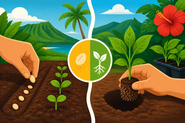
A site map can help decide whether to sow directly in the bed or transplant seedlings. Direct sowing avoids moving young plants, but exposed soil may be difficult to keep consistently suitable for germination. Starting seedlings in a protected location can make it easier to watch their early development, though the move outdoors needs care. For more on matching the method to crop and conditions, consult When to Direct-Sow or Transplant Crops Across Seasons.
When transplanting, choose a destination bed with conditions the seedlings can tolerate as they adjust. A sheltered location may reduce exposure, but it should still provide the light and drainage the crop needs. If a bed is shaded by a wall or canopy, observe whether that shade lasts through the day rather than assuming the spot is suitable from a quick glance.
A planting calendar should not override visible signs from the site. If the soil is saturated, a bed drains poorly, or seedlings are under obvious stress, pause and investigate rather than following a date mechanically. For beds that remain wet or have drainage concerns, Why High Rainfall and Water Tables Favor Raised Garden Beds and How Long to Wait After Heavy Rain Before Sowing Island Crops can help you think through the next step.
Connect watering decisions to the map
Different parts of the yard may need different watering attention. A roof edge may receive less rain than an uncovered bed; a sunny, windy spot may dry sooner than a protected location. Check the soil in each area rather than assuming that watering one bed correctly means the whole garden is covered.
If one bed repeatedly dries first, identify why before simply watering everything more often. Exposure, soil texture, bed height, and nearby roots can all be worth investigating. A shaded area that stays damp may need less attention than an open bed, while a container may dry differently from an in-ground planting. For broader watering context, see Adjusting Island Garden Watering for Wet Winters and Dry Summers and How Soil Type Influences Garden Watering in Hawaiʻi.
Keep watering observations on the same map as sun and wind notes. Over time, a record of where soil dries or stays damp can help you make more targeted choices. It also helps explain why a single watering routine may not work equally well across a varied yard.
Keep the map useful as conditions change
A neighborhood map and a garden map should be revisited rather than treated as finished. The surroundings change: plants grow, pruning opens a canopy, a new structure casts shade, or a bed is relocated. Your own observations may also become more accurate as you learn how rain and wind move across the property.
Review the map when you notice a difference in crop performance. If a previously reliable bed begins to dry faster, check whether its exposure changed. If seedlings are suddenly shaded for longer, look for a growing tree or new obstruction. If water collects in a place that used to drain, examine whether soil movement or runoff patterns have changed.
It can be useful to keep planting notes alongside the map. Record what you planted, where it went, and what the site was like during establishment. You do not need a detailed diary. Short, consistent notes are more valuable than elaborate records that are hard to maintain.
Use those notes to make future decisions, not to create rigid rules. A crop that did well in one bed under one set of conditions may not do as well after the surroundings change. Likewise, a poor result does not prove that a crop cannot grow in your neighborhood. It may point to a mismatch between the crop, the location, the timing, or the care it received.
A practical review can follow this sequence:
- Compare the planting location with your notes on sun, shade, wind, and rain.
- Check whether the bed’s drainage and moisture pattern fit what the crop appears to need.
- Consider whether the planting method suited the exposure and the seedling’s stage.
- Make one focused change where possible, then observe the result.
- Update the map when the pattern becomes clear.
Use a regional calendar as context, then let your observations refine the decision. Hawaiʻi Home Planting Guide: Seeds, Starters, and Sun Exposure and Timing Sowing by Rainfall, Wind, and Yard Exposure can complement a yard map by linking planting choices to conditions you can observe. Together, these tools make a calendar more responsive without pretending that any one date suits every yard.
Frequently Asked Questions
Can neighboring yards have different planting conditions?
Yes. Differences in sun, wind, shelter, drainage, and nearby structures can create distinct growing conditions within the same neighborhood. Observe the specific bed rather than assuming that a neighbor’s result will repeat in your yard.
Does a microclimate map need measurements?
Not necessarily. A sketch with consistent notes about shade, exposure, rain, and drainage can help you compare beds. Measurements may be useful for a particular question, but the map is most valuable when it records patterns that affect your planting choices.
Should I change planting dates based on a warm or sheltered spot?
Use the site as one part of the decision, not as a reason to ignore crop guidance. Compare the calendar window with the conditions in the bed, then observe how plants respond. A sheltered location may help with exposure, but it still needs suitable light and drainage.
How often should I update my yard map?
Update it when you notice a meaningful change, such as new shade, a shifted planting bed, or a recurring difference in moisture. Revisiting the map when crop performance changes can also help identify whether the site or the planting approach needs attention.
Disclaimer
This article is for general informational purposes only and does not constitute professional advice. Laws, prices and regulations vary by location and change over time. Consult a qualified professional for guidance on your specific situation. Hawaii Gardening Guide is not a government agency and is not affiliated with any university extension, state department of agriculture or other government agency.